| The study was
conducted in 1996-1997 at Kealakekua
Bay. Four 50m transects were
established at 3-6 m depths: two in areas of high diver activity, the impact
site (directly in front of the Capt. Cook Monument and in the area
where the diver boat moor) and two in areas of low to no diver activity,
the control site located about 1km south of the impact site (Figures 1 & 2).
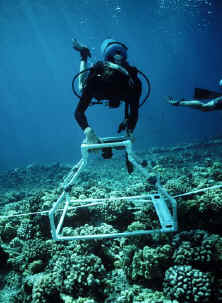
Data were collected using photographs taken
with a Nikonos V camera with a 15mm lens attached to a PVC quadrat
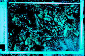
covering an 0.50m2 area (Figure 3). On each transect 18
photographs were taken at randomly selected coordinators along the
transect lines at all study sites both at the beginning and end of the
study (Figure 4). Percent cover estimates were made of all living and
non-living substratum in each photograph by projecting the slide over a
series of 50 random coordinates and recording the observed substratum
under each point. In addition, the percent cover of bleached and broken
coral was estimated for each slide. Bleached coral was noted as unusually
pale portions of the coral colony, typically located at the tips or edges
of coral colonies. Broken coral was identified as recently damaged coral
fragments. A single observer was used to analyze all of the photographic
data in order to minimize observer bias. |
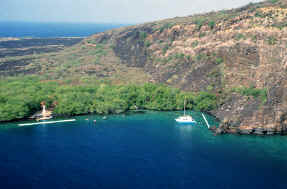
Figure 1. Location of impact
transects. |
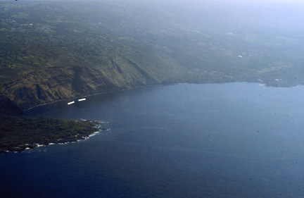
Figure 2. Location of control
transects. |
|